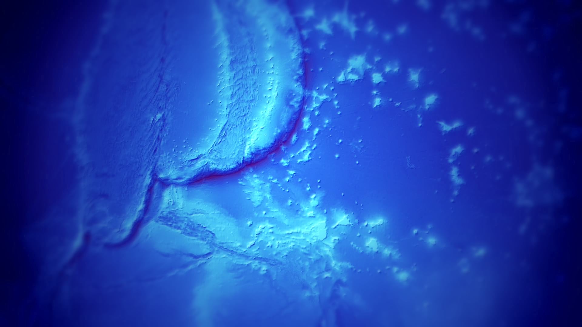
Discovering Mapbox Styling Possibilities
Screenshots from low Zoom to high Zoom:
The initial thought about the project was to get comfortable with Mapbox styling possibilities. I used my diving and snorkeling trips as input data and as the base idea for the overall theme. Local geojson markers are rendered on a webmap using Mapbox GL JS.
For the theme I got heavily inspired by the work from, among others,
Dive spots, centers and tours are based on my journeys, I mapped them on https://geojson.io/ from where its possible to directly connect to Github.
The map style was created in Mapbox Studio based on Mapbox GL JS 2.0. It changes with zoom levels, coming from an abstract cartographic representation at low zoom levels to a more realistic aerial view for closeups.


:strip_icc()/pic4382323.jpg)