Skip to content

A handy measurement widget for Google Maps API v3. The functionalities are implemented as close as to what current Google Maps offers.

License

Notifications You must be signed in to change notification settings

philbert440/MeasureTool-GoogleMaps-V3


Folders and files

NameName
Last commit message
Last commit date

Latest commit


Repository files navigation

Measurement Tool for Google Maps API V3

A handy measurement widget for Google Maps API v3. The functionalities are implemented as close as to what current Google Maps offers.

Demo

Visit demo page

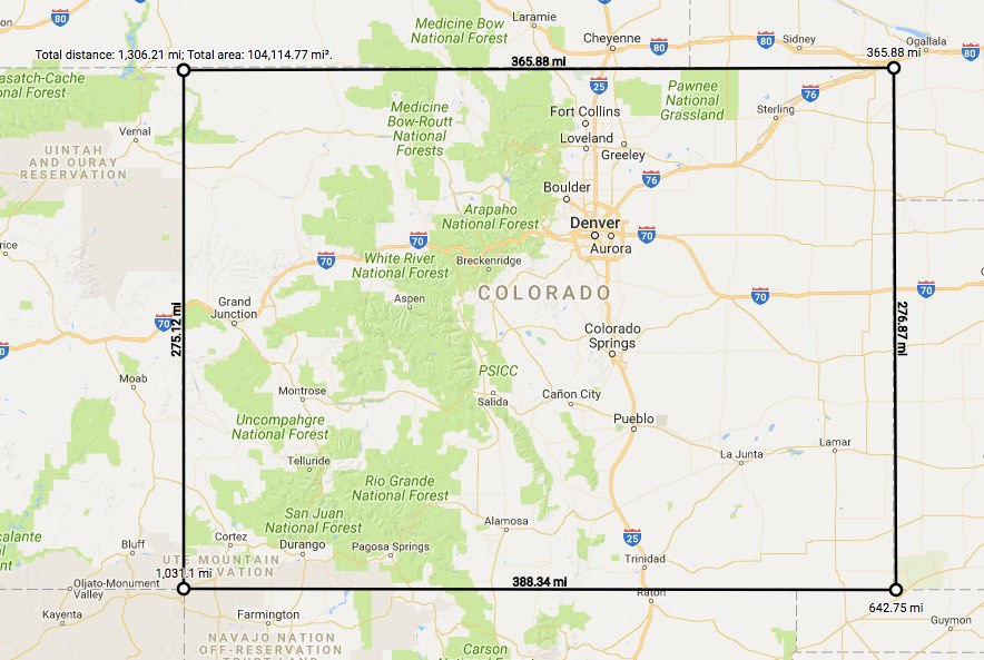
demo screen shot

User usage

  1. To start measuring, right click the map and choose Measure distance.
  2. Left click the map, and the measurement between the two locations will display. Keep clicking to add more measurement waypoints.
  3. To remove a waypoint, left click on the waypoint (the first point cannot be removed).
  4. To insert a waypoint on the measurement line, click the line. Waypoints can be moved by clicking and dragging them.
  5. When the first point and the last point are close enough, the area will display.
  6. To end measuring, right click the map and choose Clear measurement.
Documentations

About

A handy measurement widget for Google Maps API v3. The functionalities are implemented as close as to what current Google Maps offers.

Resources

License

Stars

Watchers

Forks

Packages

No packages published

Languages

  • JavaScript 97.5%
  • CSS 1.3%
  • HTML 1.2%